Autonomous Navigation: Tesla Builds Its Own Map
Tesla has announced it is creating a proprietary mapping system to improve the accuracy of its Full Self-Driving software.
By Benjamin Bernard ·
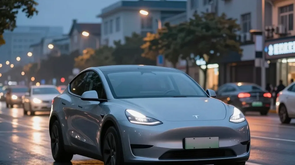
Tesla is finally building its own maps to fix persistent errors in its autonomous driving system. This development marks a significant departure from the company's long-held stance that detailed cartography is unnecessary for true self-driving capabilities.
The announcement came during the Q3 2026 earnings call, where Tesla's VP of AI, Ashok Elluswamy, addressed a question from a retail investor. The investor noted that mapping issues remain a major problem for Full Self-Driving, specifically citing speed limits, parking, and route selection. Elluswamy agreed that Tesla should not rely on external providers for this critical data. He explained that the new system uses an AI-based architecture fed by collective learning from the fleet. This approach will also track individual driver preferences and respond to voice commands. The technology is slated to begin handling trip start and end points with the next software version. Over the coming months, it will take over navigation and destination handling.
This shift reverses years of public messaging by CEO Elon Musk. In 2019, at an event called Autonomy Day, Musk dismissed high-precision lane maps as a mistake that made systems brittle. He argued that relying on such maps was a bad idea and called lidar a fool's errand. At the time, Tesla claimed it could solve driving with cameras and AI alone. Now, seven years later, the company is creating a map layer to correct errors its vision system makes.
The specific problems Tesla aims to solve involve understanding the physical environment. Speed limit recognition has been a particular pain point. A Belgian road safety group recently found that the system exceeded the limit in more than half of the zones tested in Brussels. The average speed was significantly higher than the legal limit because the car often displayed incorrect information. In the United States, the National Highway Traffic Safety Administration is considering an investigation into claims that Tesla vehicles speed through school zones. These vehicles include roughly 1,000 Model Y and Cybercab cars.
Tesla's new approach mirrors the strategy used by Waymo. Waymo uses sensor-equipped vehicles to map cities before launching service. Tesla will use its existing fleet to collect data and build a map that improves driving for all cars. The primary difference is that Waymo vehicles are equipped with lidar. Tesla's Robotaxi service already operates in specific geofenced areas. This new mapping effort brings the two companies closer together in their methodology.
The stakes are high for the future of autonomous driving. If the new map layer resolves issues like speed limit reading, it will be a significant improvement for safety. However, critics argue that the years of dismissing maps as crutches were misleading. Tesla is now adopting the very tools it once rejected to achieve the same goals as its competitors.
Source: Electrek · original report published